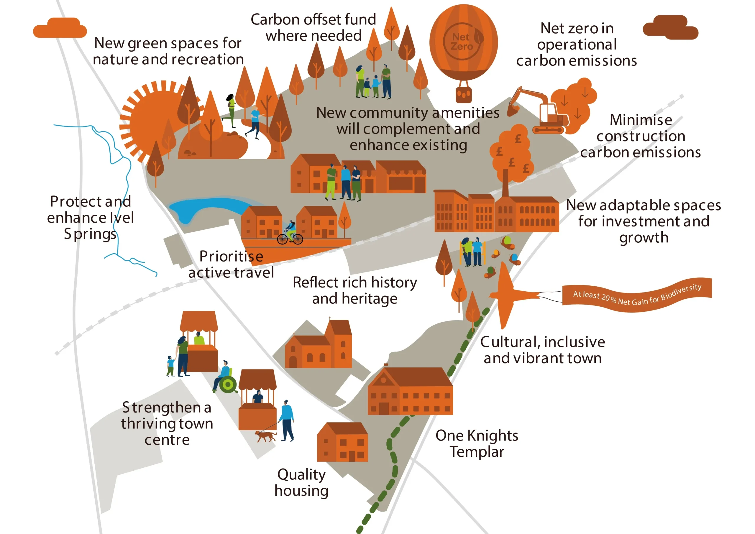
Vision for Growing Baldock
Sustainability is at the heart of the vision for Growing Baldock. U&C, Herts County Council and North Herts Council are finalising the vision.
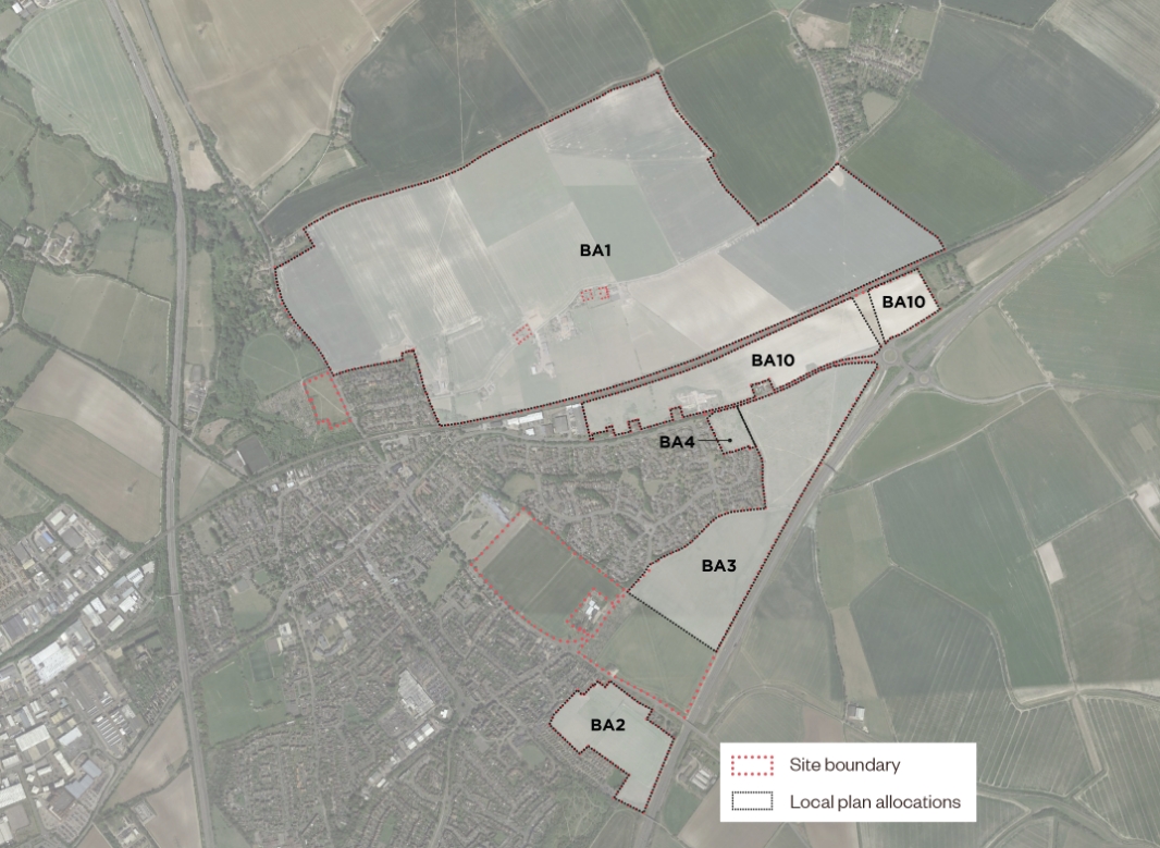
The site and its context
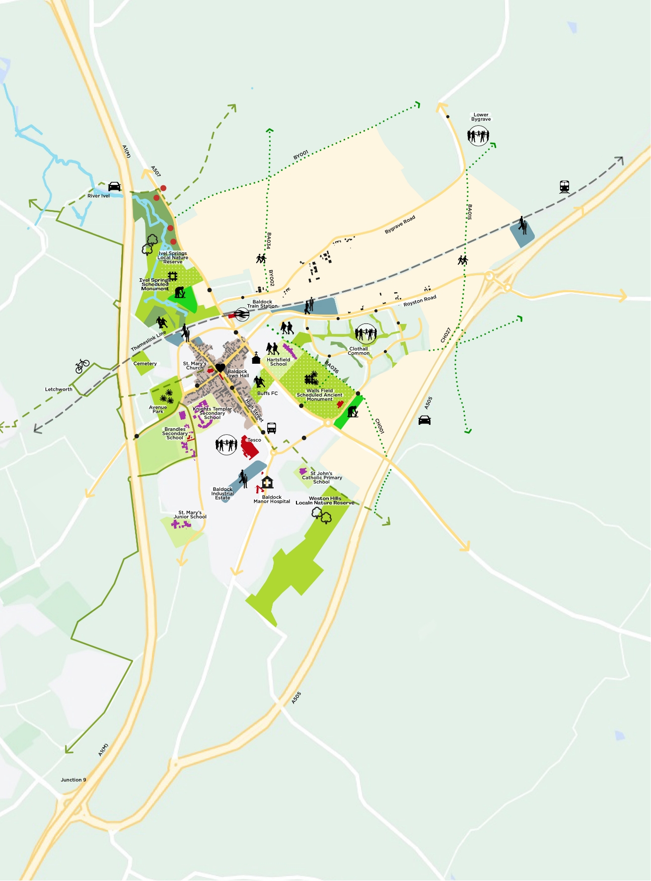
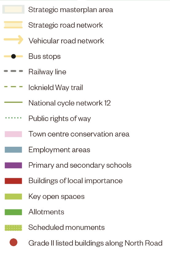
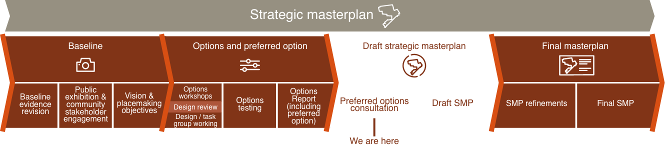
What we have done so far
Baseline Report
Pulling together all the evidence about Baldock and the sites from our investigations and from the last public consultation.
Stakeholder and
Community Engagement
Options Report
Development
The new development will deliver:
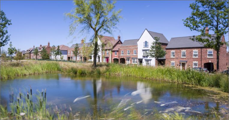
Around 3000 new homes
Around 17ha of employment land
Community facilities, shops and services
Primary and secondary schools
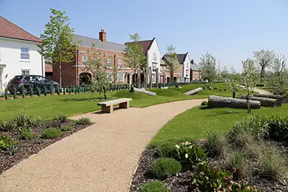
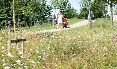
New parkland green spaces & play areas
Public transport and new cycle and walking connections, alongside investment in local road infrastructure
01: Landscape-led approach
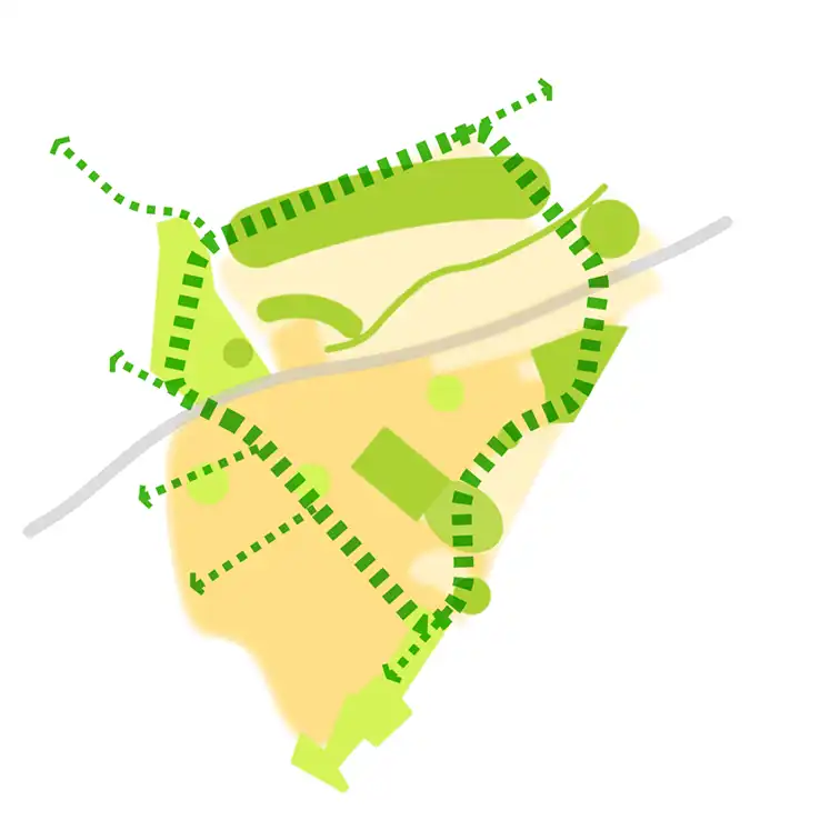
To adopt a landscape-led approach to planning and design with a minimum of 40% dedicated to green spaces. The natural features and their connections with the wider landscape will guide the future plans for green and blue infrastructure ahead of designing in the homes and other buildings.
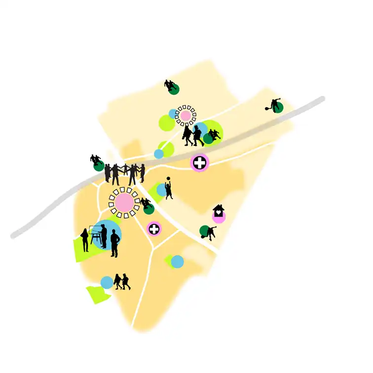
02: Connected & accessible green spaces
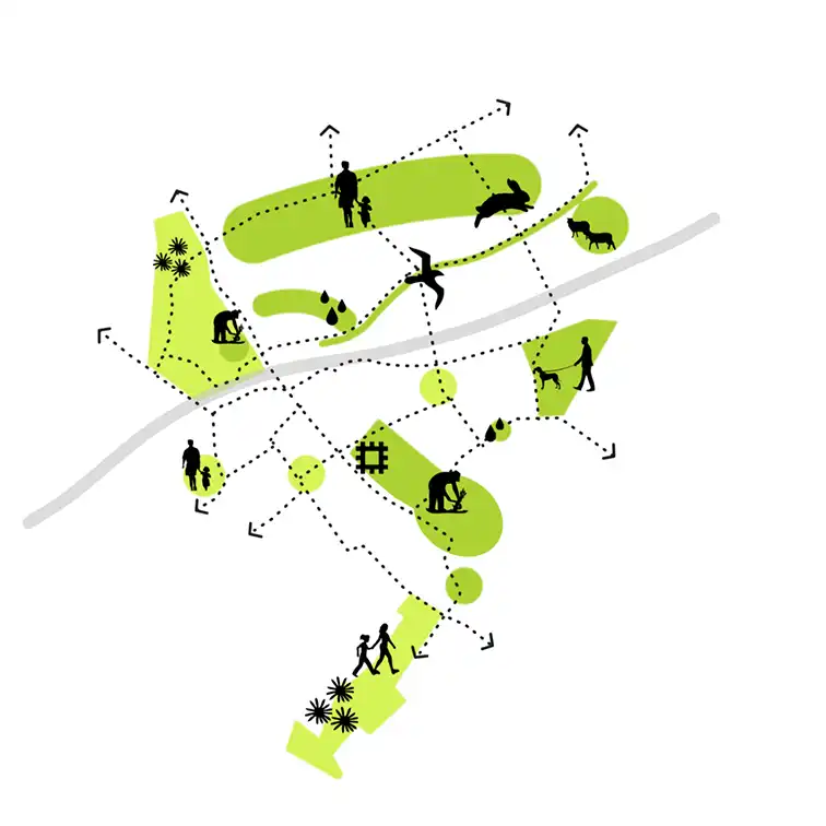
To deliver a network of connected and accessible green spaces for a range of uses, including space for sports and leisure, havens for wildlife and biodiversity, sustainable surface water drainage, climate change adaptation and mitigation, encouraging active travel, improved air quality and reduced noise pollution, food-growing and community engagement.
03: Conserve & enhance historic environment
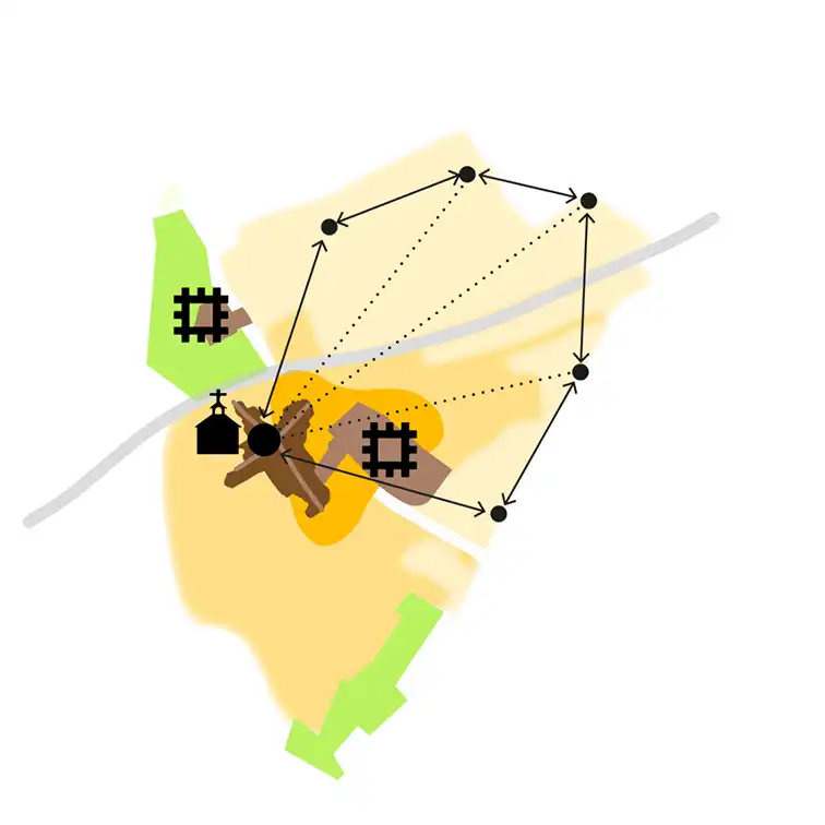
To conserve and enhance the historic environment and heritage assets on site including using areas of archaeological interest to inform the location, character, function and design of green spaces and designing heritage trails increasing public understanding of the history of the site through community involvement.
04: Walking & cycling prioritised
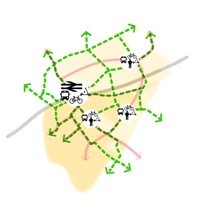
To ensure walking and cycling will be the first choice of transport by most people for most trips, minimising carbon, polluting nitrogen oxides and particulate emissions.
05: Town centre adaptation
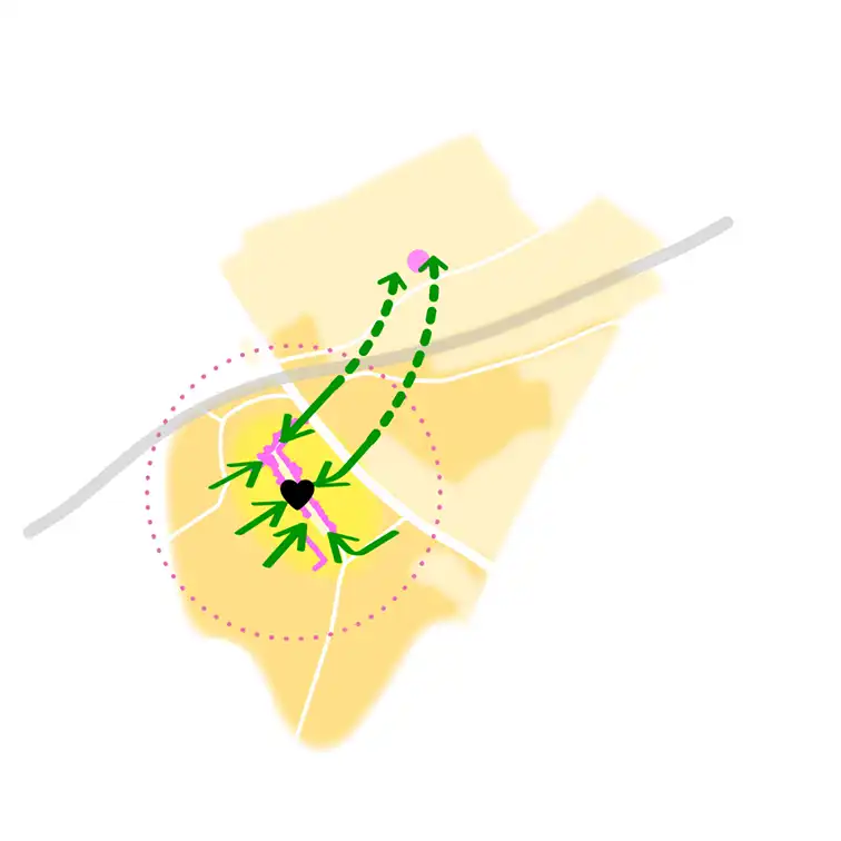
To adapt the town centre towards a more people-centred experience, encouraging people to walk, cycle and spend more time there.
06: Walking & cycling network to key destinations
To create safe, direct and clear networks of walking and cycling routes to key destinations within and beyond the development sites, including addressing the challenges of the separation caused by the railway line and supporting areas of the town with a poor pedestrian and cycling environment.
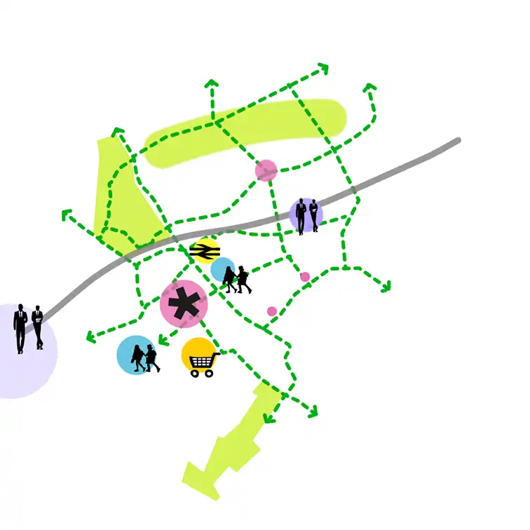
07: Supporting town centre vitality
To support the vitality and viability of Baldock town centre by bringing forward complementary facilities and services within the development sites and strengthening walking and cycling connections between the development sites and the town centre to increase footfall and visitor spend and dwell time.
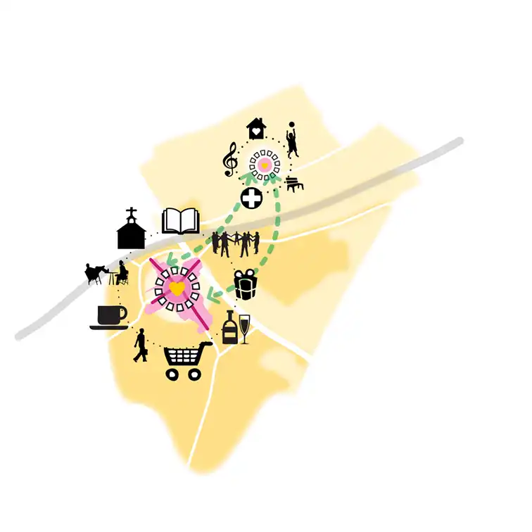
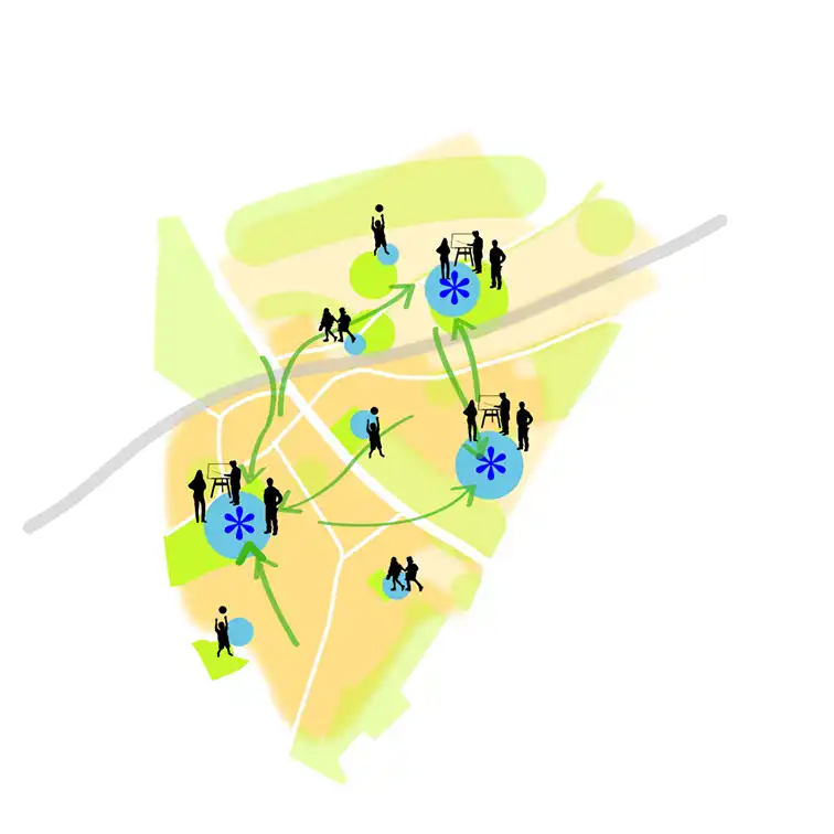
08: Community hubs
To provide education, nursery, health and community facilities on the development in co-located community hubs that complement existing facilities in the town. These will support integration and inclusivity across all ages and abilities and new and existing residents.
09: Opportunities for local employment
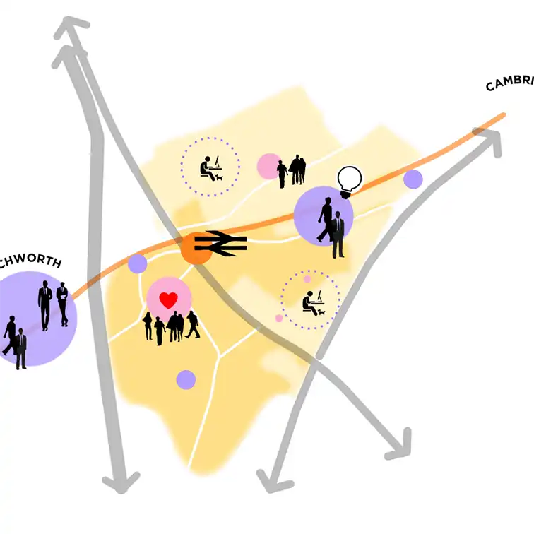
To provide new quality and accessible business space providing the opportunity for local businesses to stay in the area, grow their workforce and invest as well as attracting new opportunities.
10: Delivery of much-needed homes
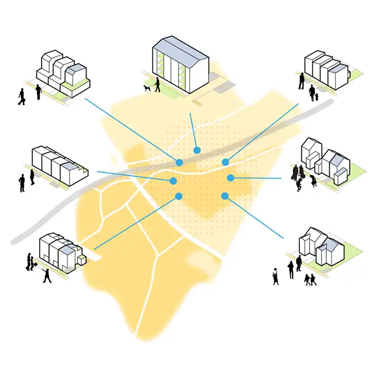
To enable the delivery of around 3,000 homes that are well designed in terms of local character, identity and sustainability, to meet the needs of the current and future generations.
11: Efficient uses of natural resources
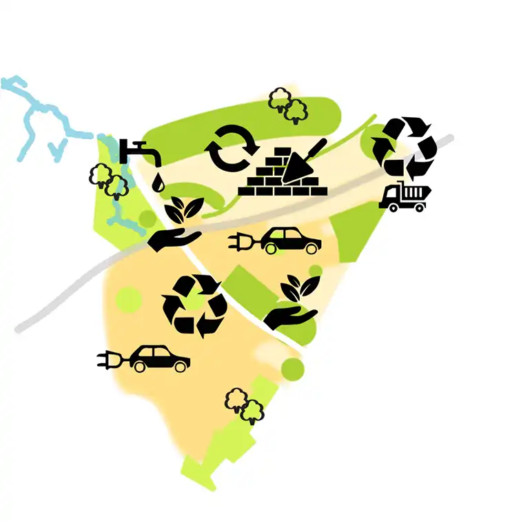
To ensure the effi cient use of natural resources including the optimal use of land and buildings, the use of materials from sustainable sources and sustainable construction methods to minimise embodied carbon usage.
12: Education
To ensure Knights Templar remains the only secondary school in Baldock, either expanded where it is, or relocated to the new site. To work with the existing primary school and early years capacity in Baldock, before building any new schools.